Check the
documentation
Check the
documentation Ask the
Community
Ask the
Community Take a look
at
Academy
Take a look
at
Academy Cognite
Status
Page
Cognite
Status
Page Contact
Cognite Support
Contact
Cognite Support

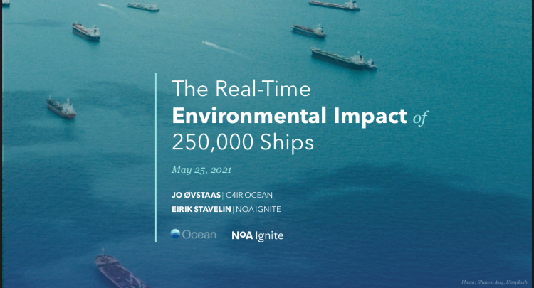
Once CDF Geospatial is in general availability we can start to process 50 million daily “emission points” for 250 000 ships world wide. We developed this solution in collaboration with Microsoft and NoA Ignite. By means of Spire AIS-data (being curated by Global Fishing Watch) and IHS vessel particulars data (dimensions, type of propulsion system, fuel type etc.), we can feed data into an emission model. Through partnership with Mercuria, Allianz and more, we can provide a lot of interesting GHG emission data without being “connected” to the ship and fuel-meters. But, it will be even better if we could get in touch with some of the major maritime players, like Wartsila and their Voyage service. If they could share fuel data anonymously, we could feed our emission models with live training data and become even more accurate.
Link to Microsoft article:
https://www.microsoft.com/en-us/ai/ai-for-earth-ocean-data-platform
We also presented the solution at Microsoft Build in May 2021.