Cognite Data Fusion: Geospatial support in CDF Templates

Related products: Other

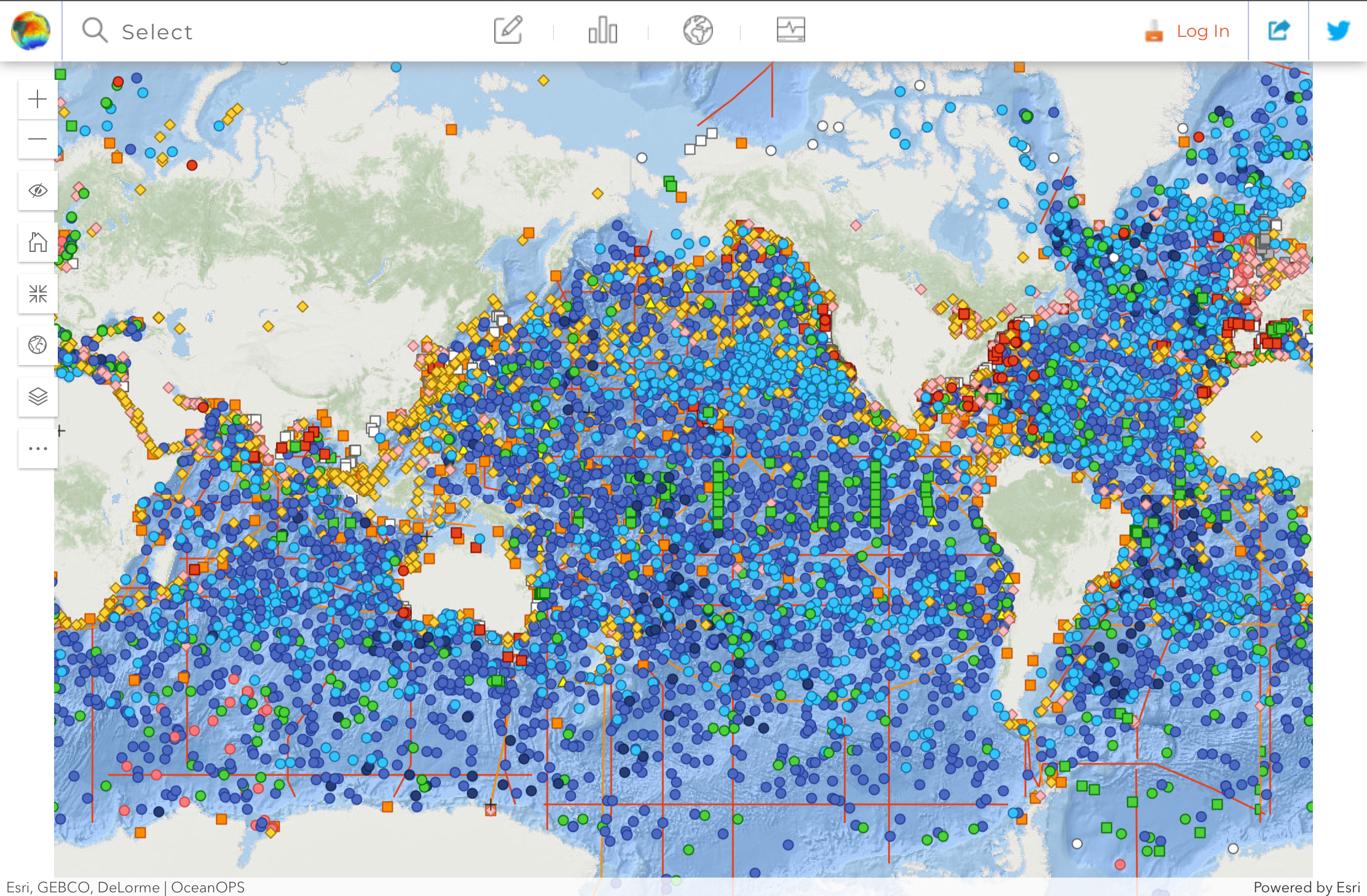
CDF Templates currently does not support geospatial, however this would be a very natural integration as Geospatial is reaching general availability.

In the case of the Ocean Data Platform - we would like to be able track data from moving equipment, for example a floating sensor called an Argo Float that floats around in the ocean collecting temperature and other interesting measurements. The measurement series could be expressed as a time series, which then could be tied to geospatial locations.

The ambition level of the Ocean Data Platform (leveraging CDF) is to become the world’s most important data collaboration hub, advancing both ocean health and wealth. In order to get there, we want to set up data pipelines from for instance Ocean-Ops, the “ocean sensor devops hub” for more than 8200 gliders (like the Argo-floats), research vessels, surface gliders, data buoys and more. We know them very well due to our close partnership and collaboration with UN UNESCO and the Intergovermental Oceanographic Commission.
https://www.ocean-ops.org/board

When we add domain specific SDKs on top of CDF APIs, we’ll have a quite unique innovation platform where tens of thousands of ocean passionate scientists and marine spatial planners can build data driven insight.

If you provide geospatial support in CDF Templates it might be easier to build data models that connect billions of geospatial observation points (physics, biodiversity, pollution, human impact etc.) with tens of thousands of ocean sensor platforms.


All the ocean sensor platforms waiting to be connected to CDF…


Updated idea statusNewGathering Interest

This is a great idea! We are discussing this internally in the team. Will keep you posted here :)