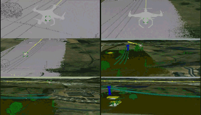
In heavy asset industries 3D scans are used for applications such as quality inspection, project progress reporting, project planning, evaluating the state of a site ‘as built’ or even evaluating the vegetation around it. The scans span from simple scans performed with a drone in 15 minutes to complex and detailed scans of a plant, taking several weeks to complete.
In this 3 part series about 3D scanning with robots we will take you through how to capture, transform, analyze and visualize 3D scan data in order to improve daily operations.
What we’d like to know before going is if someone has any questions or topics that you want to learn more about? All questions are greatly appreciated and can span from how do you set up the robot to capture the data to what robot and data management pipeline would you use for use case X?


 Check the
documentation
 Ask the
Community
 Take a look
at
Academy
 Cognite
Status
Page
 Contact
Cognite Support


